Strategy
Adaptation
Limit Exposure to Coastal Storms
Warming oceans and rising sea levels are both contributing to increased frequency and intensity of coastal storm events, which threaten hundreds of millions of people globally. Exposure to these storm events can be reduced by establishing dense wetland buffer zones and by integrating riprap or other hard infrastructure along coastal edges.
Move activities away from high-risk areas
Options
...by planning the removal or reduction of structures and people in flood zones (managed retreat).
...by locating structures in the site above the current 100- or 200- year flood level.
...by raising a portion of the site higher than the current 100- or 200-year flood level.
...by eliminating essential infrastructure or elements from low lying areas.
Case Study
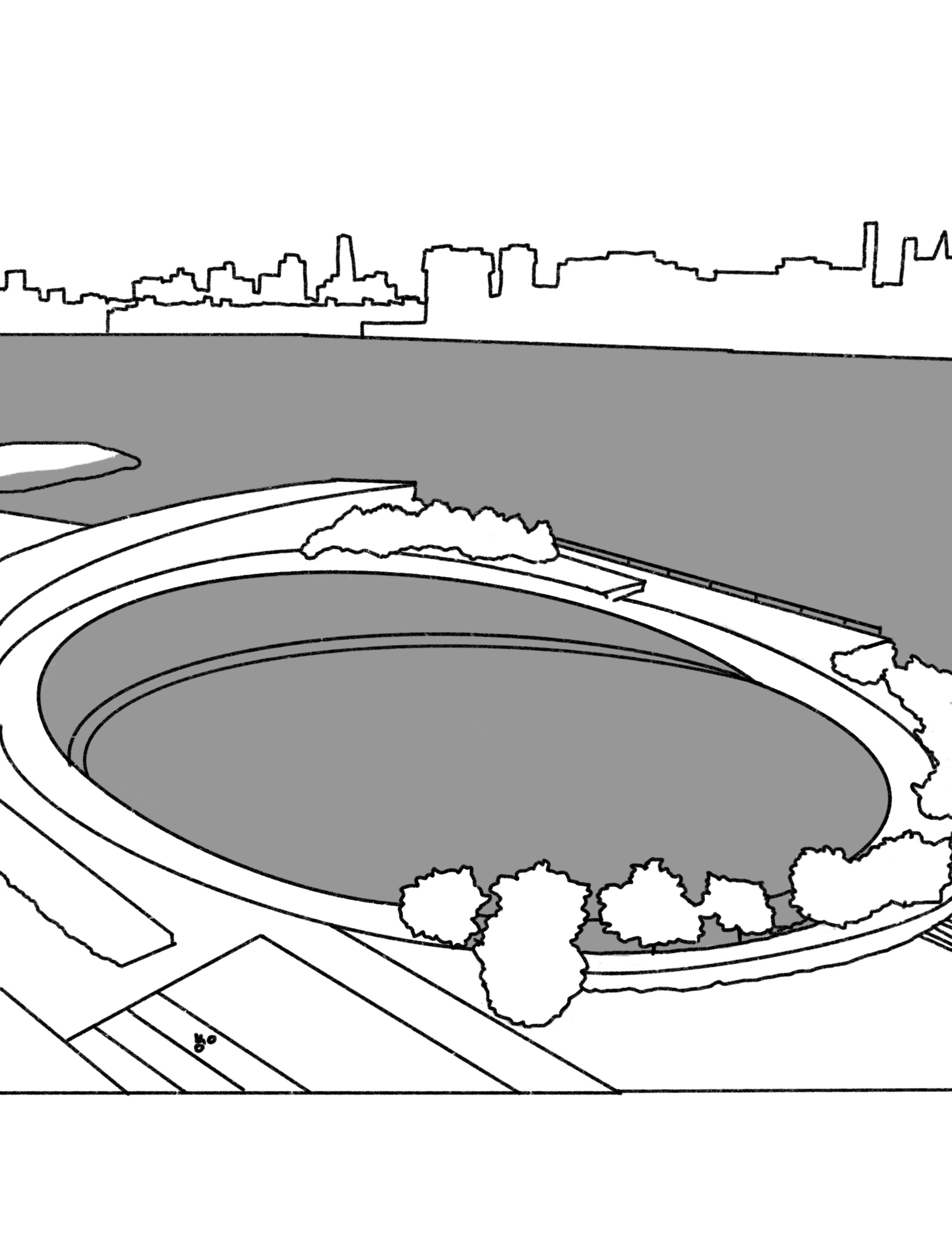
As part of a city-wide initiative aimed at reducing flood risk due to coastal storms and sea level rise, recreation areas along Lower Manhattan’s riverfront are being raised eight to nine feet above their historical elevations. A part of the East Side Coastal Resiliency project, Mathews Nielsen Landscape Architects designed these elevated park spaces to work in tandem with a series of floodgates in order to protect neighborhoods and critical transportation infrastructure from catastrophic flooding.
Reconfigure shorelines to attenuate wave energy
Options
...using “hard” infrastructure like seawalls, levees, breakwaters, tetrapods, riprap, etc.
...using “soft” infrastructure like engineered wetlands, living shorelines, beach nourishment programs, etc.
Case Study
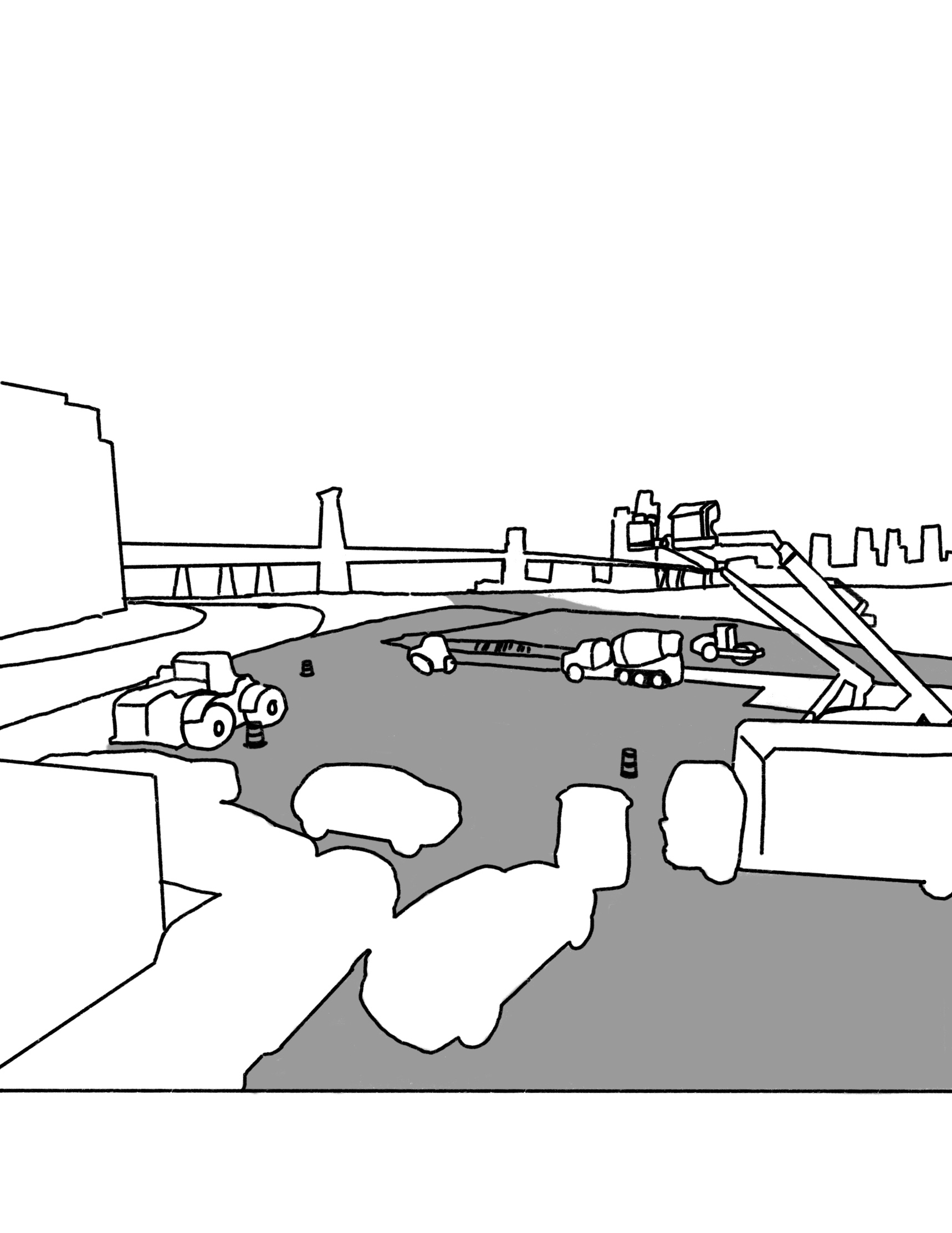
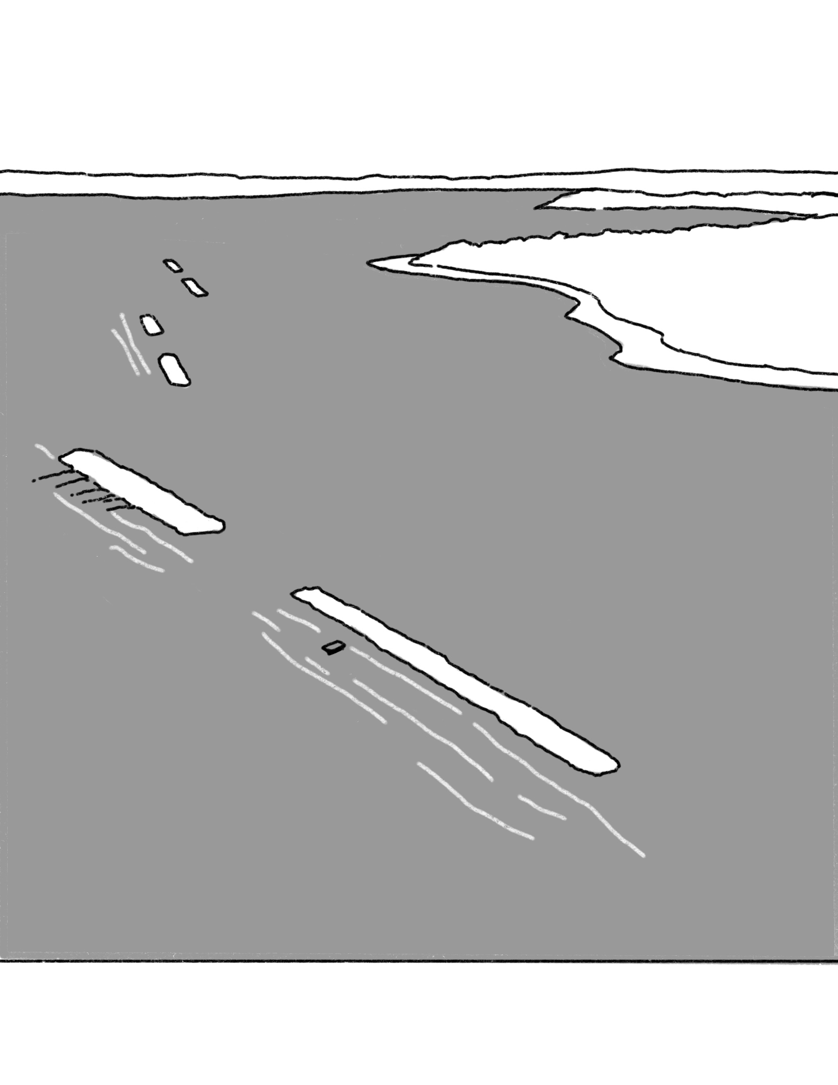
After a record-breaking super storm brought considerable damage to New York City’s shoreline, SCAPE designed Living Breakwaters, a string of offshore breakwaters to reduce erosion and lessen wave impacts while improving habitat for marine wildlife. The breakwaters were custom designed to include “niches and crevices” that introduce habitat complexity, creating space for a range of targeted species, including juvenile fish, oysters, and other shellfish.
Reduce excess water by exiting it as quickly as possible without overtaxing the storm system
Options
...by locating structures away from hazardous topography (ridge lines, canyons, or steep slopes).
Case Study
For the first phase of Hunter’s Point South Park, SWA designed a large lawn area at the edge of the urban waterfront. Constructed with artificial turf, the lawn is designed to drain stormwater quickly during typical rain events. During major storms, when the river breaches its banks, the lawn, which is sunken below street grade, is designed to withstand long periods of complete inundation before releasing floodwaters back into the river instead of draining it back into the city’s sewer system.